Topographical
Experts since 1963
Accurate and reliable data
Northern Divers (Eng) Ltd are well equipped for providing accurate and reliable data. Our wide range of hydrographic equipment includes the most recent marine instrumentation and we have extensive experience in the mapping of currents, as well as the measuring river discharge.
Data is collected, processed and presented using state-of-the-art hydrographic software. Our engineers, with their vast knowledge and more than 35 years experience, have been in great demand worldwide, transferring technology and providing training in hydrographic data collection techniques.
Providing quality service since 1963
Working with Northern Divers
We provide a cost-effective approach, achieving quality data collection to the highest of standards. With short mobilisation time, and almost ‘plug in and play’ setup, we can offer an excellent hydrographic survey service to our clients, anytime, anywhere in the world.
Working in partnership with our clients from all construction disciplines, we can offer a comprehensive, professional service, and have established working relationships with diving contractors, dredging companies, civil, consulting and structural engineers across the UK and worldwide, particularly in emerging markets and central and eastern Europe.
24 hour emergency call out
Our expert team in on hand 24 hours a day, 365 days a year.
Supplying equipment and personnel to assist in both any underwater or above water incidents requiring assistance.
Contact +44 (0) 1482 123 456Subtitle
What Northern Divers Can Help With
- Topographical Surveys
Data is collected, processed and presented using state-of-the-art hydrographic software. Our engineers, with their vast knowledge and more than … years’ experience, have been in great demand worldwide, transferring technology and providing training in hydrographic data collection techniques. With short mobilisation time, and almost 'plug in and play' setup, we can offer an excellent hydrographic survey service to our clients.
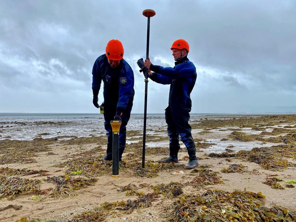
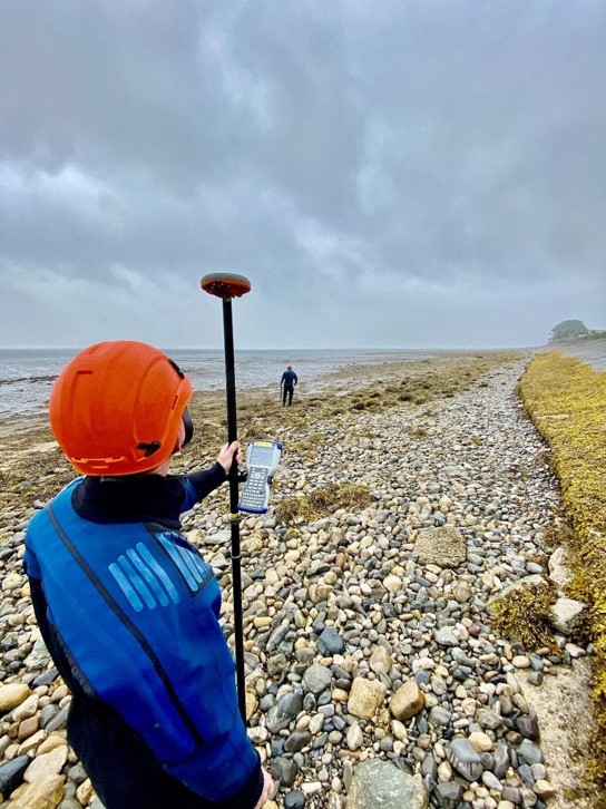
- GPS Bed Profiling
Using GPS and cutting-edge hydrographic software, our engineers are able to obtain a complete picture and observe what is happening beneath the surface of the water. Channel cross-section surveys capture changes to the bed topography.
- GPS Bank Profiling
As part of the topographic mapping process, it is important to also survey riverbanks to understand any erosion and environmental changes taking place. Using GPS and cutting-edge hydrographic software, our engineers are able to understand changes to the riverbeds.
- Line Walking
Contour lines are depicted on maps to demonstrate a point of equal elevation above sea level, allowing us to see the shape of the land surface. Walking along these lines mean that you neither gain nor lose elevation.
Speak To Northern Divers
Please use the form to contact us about any of our services, we aim to reply to emails within 4 working hours, please call us if you would like to talk to us sooner.
By using this form you accept our Terms & Conditions.